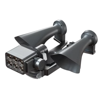
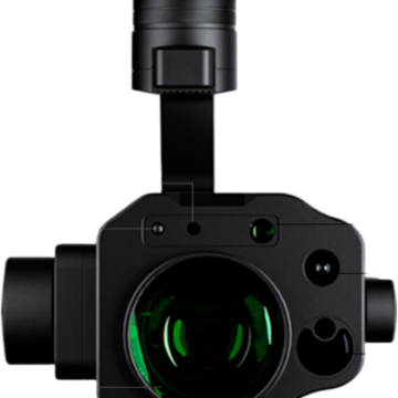
Description
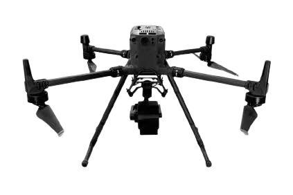
The DJI Matrice 350 drone hyperspectral camera, based on DJI lasted enterprise drone platform M350 , develop on DJI SDK, makes the hyperspectral sensor fully integrated with Matrice 350 drone, the drone and the NDVI sensor communicates with each other, controls the hyperspectral camera via DJI Pilot, easy to install, just plug and play. Widely used in geological and mineral resource exploration, precision agriculture, crop growth and yield assessment, forest pest and disease monitoring and fire monitoring, coastline and marine environment monitoring, pasture productivity and pasture monitoring, lake and watershed environmental monitoring, remote sensing teaching and scientific research, meteorological research , ecological environment protection and mine environment monitoring, water quality testing, soil monitoring, quality testing of agricultural and livestock products, military, national defense and homeland security, disaster prevention and control
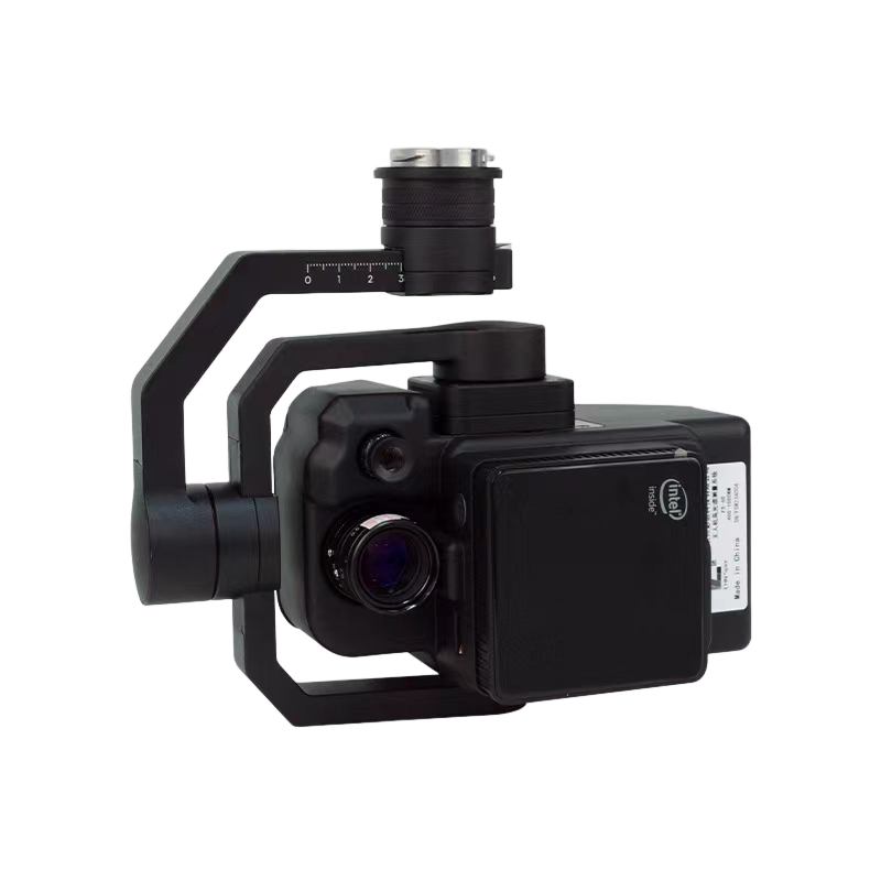
1200 spectral channels, 1920 spatial channels, spectral resolution better than 2.5nm, high diffraction efficiency transmission grating spectroscopic module combined with high sensitivity area array camera and auxiliary camera technology, achromatic lens, ultra-light body materials, detect the continuous spectral distribution of each pixel and meet the needs of camouflage and anti-camouflage fields, ground object and water body monitoring, modern precision agriculture, forestry and other ecological environment monitoring applications
Features;
- DJI M350RTK or other multi-rotor /fixed-wing UAVs platform, easy to install, comes with all installation kits,
- Adopt ultra-high-speed spectral scanning imaging devices with high signal-to-noise ratio to provide high-stability spectral image acquisition.
- Adopt a self-developed image processing algorithm with high efficiency and low power consumption, which greatly prolongs the flight time of the whole machine and reduces the power consumption of the system;
- The system design is compact, and the spectral resolution of the imaging spectrometer host is as high as 2.5nm;
- The whole machine consists of: a high stability pan/tilt, hyperspectral imager, embedded data acquisition and processing storage unit, wireless image transmission system, GPS-RTK navigation system, ground receiving workstation, ground control system, and reflectivity calibration board.
- Real-time observation of aircraft sampling locations through the ground station and the preview and correction functions of route data collected point by point can be set by the ground station: radiometric correction, albedo correction, regional correction support batch processing
- Real-time commonly used vegetation index calculation function.
- Support custom real-time analysis model input function.
- ENVI is perfectly compatible with multiple data formats.
The DJI M350 drone hyperspectral camera typical application,
Water quality parameter monitoring
Water quality parameters such as turbidity, suspended solids, chemical oxygen demand (COD), NH4-N, total nitrogen, and total phosphorus can be obtained through modeling and inversion of hyperspectral data of water bodies
Forestry pine wood nematode detection
The airborne hyperspectral measurement system can be used to quickly and efficiently acquire large-area forestry hyperspectral data. Through the selection and modeling analysis of the vegetation hyperspectral data, the tree species identification criteria and the hyperspectral detection model of diseased and dead pine trees are established, and the inversion Get the corresponding distribution of pine trees suffering from pine xylophilus
Through real-time measurement of spectral image information of plants, water bodies, soil and other ground objects, it can be applied to precision agriculture, crop growth and yield evaluation,
Specs;
| SN | Specs | |
| 1 | Light splitting method | Transmission grating splitting |
| 2 | Spectral range | 400-1000nm |
| 3 | spectral band | 1200 |
| 4 | spectral resolution | 2.5nm |
| 5 | Slit width | ≤25um |
| 6 | spectral efficiency | >60% |
| 7 | stray light | <0.5% |
| 8 | Spatial Pixels | 1920 |
| 9 | pixel size | 5.86um |
| 10 | Imaging speed | Full band 128Hz, Max 3300Hz |
| 11 | detector | CMOS |
| 12 | SNR(Peak) | 600/1 |
| 13 | output interface | USB |
| 14 | Camera interface | C-Mount |
| 15 | ROI Function | Multiple regions possible |
| 16 | Built-in embedded data acquisition and processing unit | Windows operating system, 8G memory, 1TB solid-state hard disk, with HDMI interface, USB3.0 interface, integrated design with camera |
| 17 | Cooling method | Internal air cooling |
| 18 | Observation method | Real-time observation of aircraft sampling locations, hyperspectral images, spectral data, and functions through ground stations |
| 19 | Calibration method | Radiosity correction, reflectivity correction, area correction support batch processing |
| 20 | Data Format | Compatible with spe format, hdr format, scp format |
| 21 | size | 206*129*119mm |
| 22 | Weight | 1150g |
| 23 | Accessories | Reflectance Calibration Plate |
| 24 | lens focal length | 25mm |
| 25 | FOV | 25° |
Additional information
| Weight | 0.89 kg |
|---|---|
| Dimensions | 23 × 12 × 22 cm |

