Description
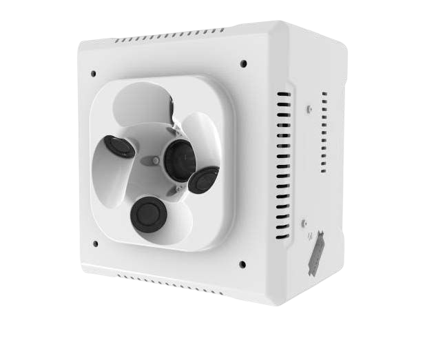
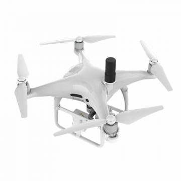
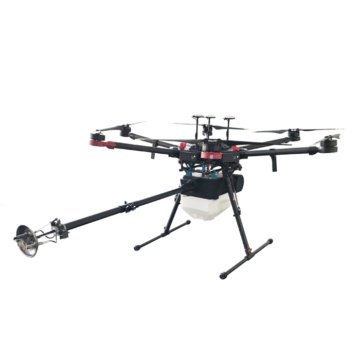
DJI Matrice 300 Drone PSDK Mapping Camera. 5 pin aerial oblique photography mapping camera. DJI payload SDK developed, seamlessly compatible with DJI Matrice 200 series and DJI Matrice 300 drone. Powered by DJI drone, no need for the extra battery, data transmission via DJI datalink.
The special camera is based on the DJI Matrice 200 and M300 drone platform, it is lighter and smaller, cost-effective, adaptable, highly efficient and accurate, and suitable for individual operated mapping working.
In-depth cooperation with DJI Matrice 200/300 drone, with the SKYPORT interface, can be highly compatible with DJI’s Matrice M200 and Matrice 300 RTK drones, and integrated power supply, digital transmission, RTK signal, image transmission, mounting, and other functions through one interface.
35mm focal length design is more suitable for high-precision measurement tasks. The lens has clear imaging, high sharpness, and more realistic color reproduction. Easily complete multi-scale mapping tasks including cadastral 1.5cm resolution
The original POS information is written into the photo attributes, which is perfectly compatible with the DJI Terra processing system.
Flight Recording Records information such as route, flight time, flight distance, and flight location for data analysis, display of remaining battery percentage, and flight time.
Flight image supports automatic route expansion calculation.
The specification of DJI Matrice 300 3D oblique photography Mapping Camera.
| Univers parameter | |||
| Compatible UAVs | DJI M200、M210RTK、M300RTK | ||
| Mechanical and electrical interface | DJI SkyPort | ||
| Number of camera Lenses | 5 | ||
| size | 122*122*105 mm | ||
| Weight | 650 g | ||
| Power | 20 W | ||
| internal storage | 640G | ||
| Data interface | TYPE-C | ||
| APP | DJI PILOT | ||
| texture | Aluminum alloy | ||
| Operating temperature | -20 ℃ ~ 50 ℃ | ||
| Optics parameter | |||
| Total Pixel | 120million | ||
| Pixel of a Single Lens | 24.3million | ||
| Pixel size | 3.92micron | ||
| Size of a picture | APS-C | ||
| Dimension of Sensors | 23.5mm*15.6mm | ||
| DPI | 6000 * 4000 | ||
| Shutter speed | 1/1000s | ||
| Trigger mode of shutter | Trigger by Flight Control Signal | ||
| Shutter type | Mechanical Shutter | ||
| Interval of stable photographing | ≥0.8s | ||
| Number of Lenses | One central directed nadir25mm +four oblique35.6mm | ||
| Characteristic parameter | |||
| Time synchronization algorithm | Time Sync | ||
| Anti-lost algorithm | Instant Shot | ||
| Camera repair algorithm | Regular Repair | ||
| Photo collection algorithm | Auto Folaer | ||
| Ground image control point | Undesired | ||
| photo accuracy | 1;500 | ||
| Data processing software | Perfect support for DJI Maps to directly process data,and support for third-party processing software such as cc | ||
| Application Scenarios | Cadastral Survey | ||
| Urban Planning | |||
| Real Estate Integration | |||
| Smart Cities | |||
| House Surveying | |||
| Public Security and Fire Control | |||


