From 1989 to 2019, the footprint of time spans 30 years, which is the youthful mark of a whole generation. In 1994, the 5th anniversary, the South was already the country’s largest surveying and mapping instrument seller. At that time, the State Council issued the most certificate of China; in 1999, the 10th anniversary, the southern leading surveying and mapping instruments were irreversible; in 2005, the 15th anniversary, Announced in the Great Hall of the People: Marking the scale of the industrialization of domestic surveying and mapping instruments in the southern surveying and mapping; 2009, 20th anniversary, manufacturing in the South, global sharing, brand influence; 2014, 25th anniversary, witnessing the power of national brands Committed to informational mapping; 2019, 30th anniversary, the achievement of time and space geographic information value, to achieve greater development vision of the South, more development dreams… Looking back, Ma Chao’s eyes are devoted to 30 years of youthful passion Surveying journey.

Southern Surveying: As you said before, the key to a company’s development is to seize opportunities, such as the opportunity of total station and RTK. So, in the next 5 years, where are the opportunities for surveying and mapping in the South?
I have summarized it briefly. The key factors that may increase development in the future are as follows: 1. Aerial survey of UAV; 2. 3D laser project; 3. Indoor positioning and navigation project; 4. Monitoring project; 5. Data processing and data. Building a library; 6, general aerial survey.
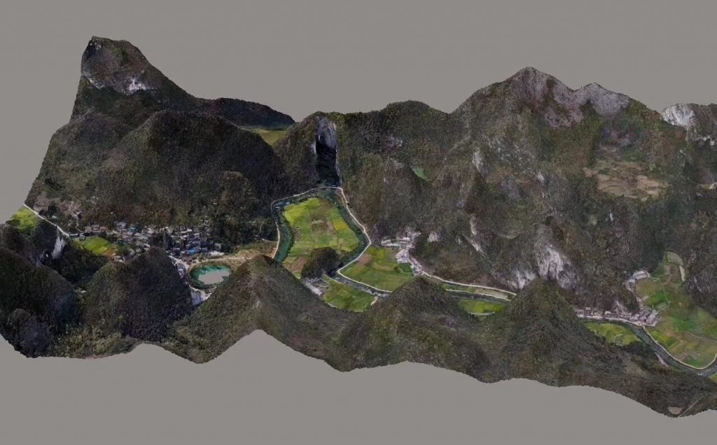
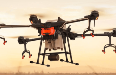
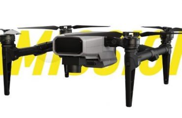
First, in the field of aerial surveys of drones and drones, the South has introduced multiple sets of hardware, equipment, software systems and solutions, and has completed more than 1,000 drone projects with an implementation area of over 40,000 square kilometers. Last year, the South launched the composite wing unmanned aerial vehicle aerial survey system MF2500 and promoted it in dozens of cities across the country. In the demonstration, it was well received by the participating users. This product will greatly enhance the competitiveness of the South in the field of aerial survey of drones.
Second, in the field of 3D mobile measurement systems and 3D laser projects, the Southern 3D Laser Team has accumulated 200 project implementation experiences and has an internal processing team of 120 people in two major data processing centers in Zhengzhou and Guangzhou. Last year, the southern unmanned airborne laser radar SZT-R250 and the southern three-dimensional laser topography cadastral mapping software Southlidar participated in the implementation of several projects at home and abroad, which will become a major promoter of the rapid development of 3D laser projects, and also the first-line user cadastral measurement efficiency. The preferred solution for data acquisition.
Third, indoor positioning navigation. Last year, Southern Survey and Mapping signed an agreement with the famous German indoor positioning navigation company NavVis to open the prelude of southern indoor positioning navigation. In September and October, he conducted product and technology tours in 20 provinces across the country, and obtained dozens of product sales and project implementation intentions. Currently, he has implemented ten in Shanghai, Hunan, Fujian, Shenzhen, Chongqing, Jiangsu, Hubei and other places. For the rest of the project, in this respect, the South seized the market opportunity.
- In 2018, the South has undertaken the automatic real-time monitoring and early warning project for geological disasters in more than 20 districts and counties of Sichuan Province. At present, the construction and construction work of each project has been basically completed. Some projects have completed county-level acceptance; in the field of Guangdong subway monitoring, Very good results. In the past two years, the Southern Branch has vigorously undertaken monitoring projects and has become a new business growth point and a competitive force.
V. Data processing and database construction related projects. There are certain technical thresholds in this respect, but the market demand is nearly 10 billion. In 2018, the branch’s performance in data processing and database construction exceeded 100 million yuan, and will increase its efforts in the next two years to reach 500 million yuan.
Sixth, the general aerial survey business, I said here that the general aerial survey refers to the implementation of a larger aerial survey project with a manned airborne + aerial camera. In 2017, the Southern 3D Laser Division developed an aerial camera platform + Phase One camera + satellite positioning + inertial navigation system for a wide range of project implementation. The largest project undertaken by the company in 2018 is the Xintai County Smart City Project of Jinan Branch. The aerial survey area is 2,000 square kilometers, which needs to be implemented with this model.
“South Surveying and Mapping”: Is the Southern Surveying and Mapping Association listed? Why is the South still choose to go public?
The Southern Surveying and Mapping Association is listed, which is the best choice after we have weighed it, and we use the capital market to help our products and business development. At present, we have completed the reorganization and establishment of the enterprise development strategy, core products and technology systems, R&D and innovation management systems, business model upgrades, market expansion and competition mechanisms, the vitality of enterprise development and the sustainability of profitability, etc. It has been sorted out and confirmed; at the same time, according to the requirements of the listing, the historical evolution of the enterprise development, the normative aspects of business and financial management are carefully reviewed and sorted out. The relevant fund organization joint intermediary agency lasted for several months, and detailed the status and development potential of the surveying and mapping business, the implementation of strategic transformation and upgrading, product cost income and profitability, technological innovation and future design, capital demand and arrangement. Based on the field research and research analysis, the solution and timetable have been put forward, laying a good foundation for the specific work of the subsequent listing.


You must be logged in to post a comment.