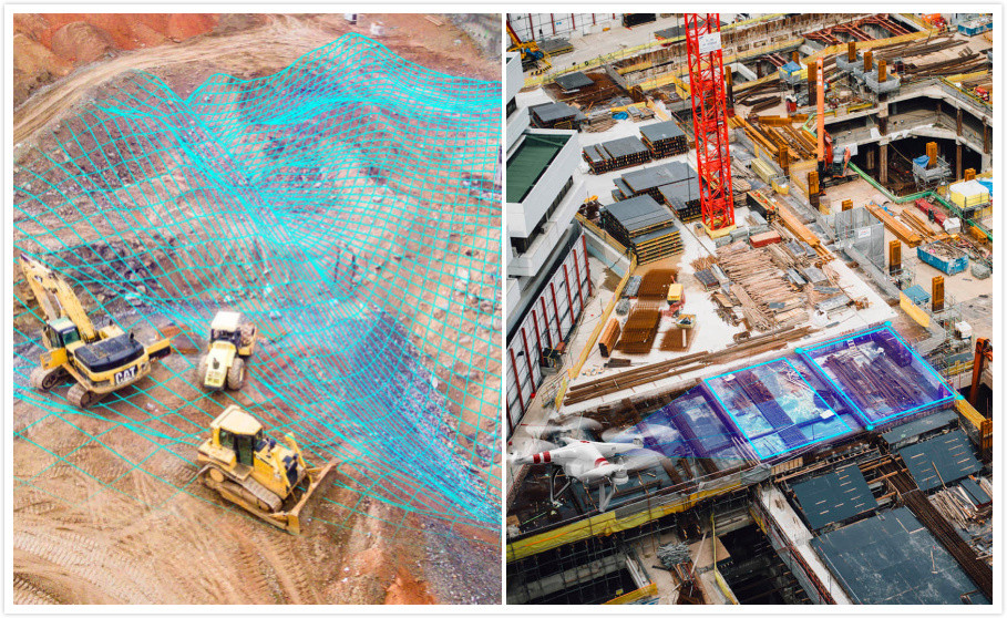
Drone UAV mapping for measuring earthwork stockpile volumes
Friday, 06 September 2019 by owensong
This is Drone UAV mapping for measuring earthwork stockpile volumes Drone fly to a certain height according to the projects environment and condition,consider both the aerial photo resolution and the range of mapping working efficient . drone fly automatically according to setted route, setting a certain aerial photography overlap rate .drone start to fly and
- Published in Mapping Drone
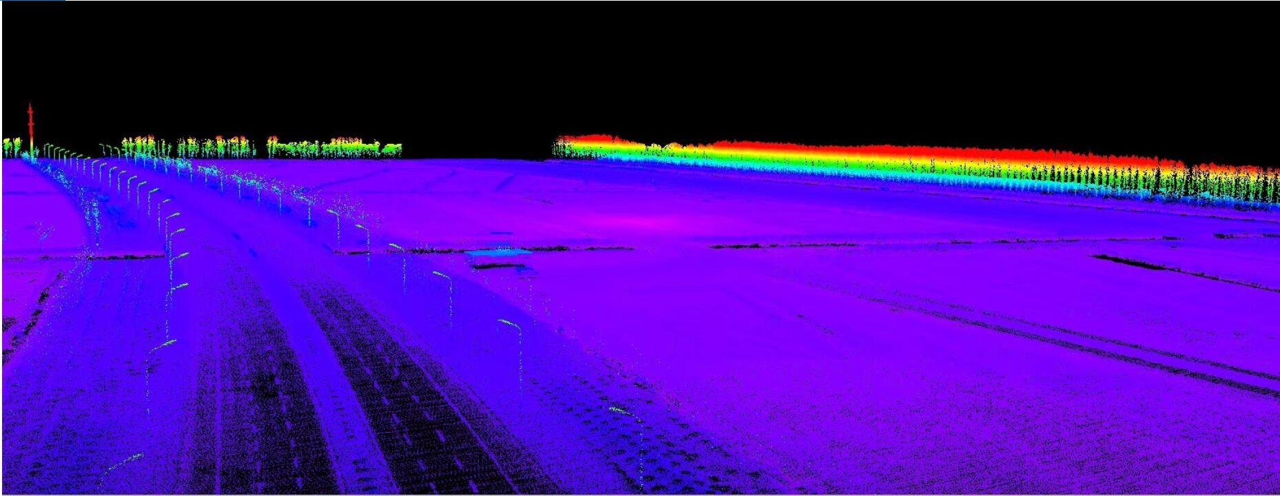
Lidar mapping drone UAV-DJI M600 Pro Drone with Lidar scanning
Thursday, 02 May 2019 by owensong
Lidar drones UAV is an efficient method of geographic mapping. It’s getting more and more mature today, Today we will talk about the Lidar equipped with the DJI M600 Pro drone, the operation process and the effect. The latest RIEGL mini VUX-1UAV is a cost-effective mapping Lidar scanning product that can be used in small
- Published in Mapping Drone


