UAV Drone Lidar Surveying working- Plants Vegetation penetration ability
Friday, 05 July 2019 by owensong
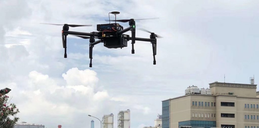
1 Overview With the popularity of lidar technology, thanks to its precise range resolution and high angular resolution, it can obtain richer contour information, in surveying and mapping, automated docks, mines, engineering vehicles and robotic automatic driving, traffic monitoring, Security and other fields have become an indispensable technical means of environmental awareness and security protection.
- Published in Technology
7 tips to improve the efficiency of drone powerline inspection
Friday, 05 July 2019 by owensong
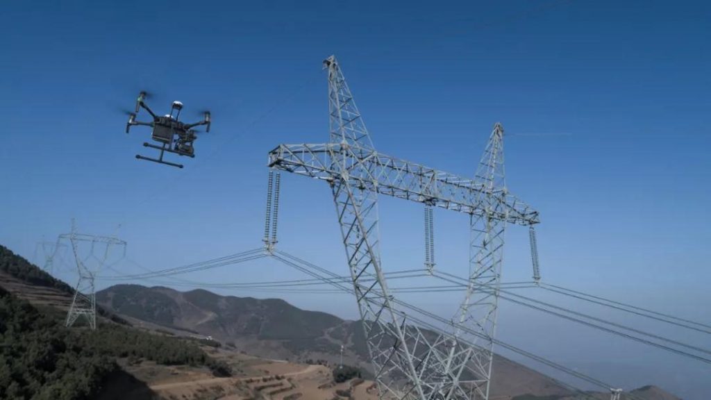
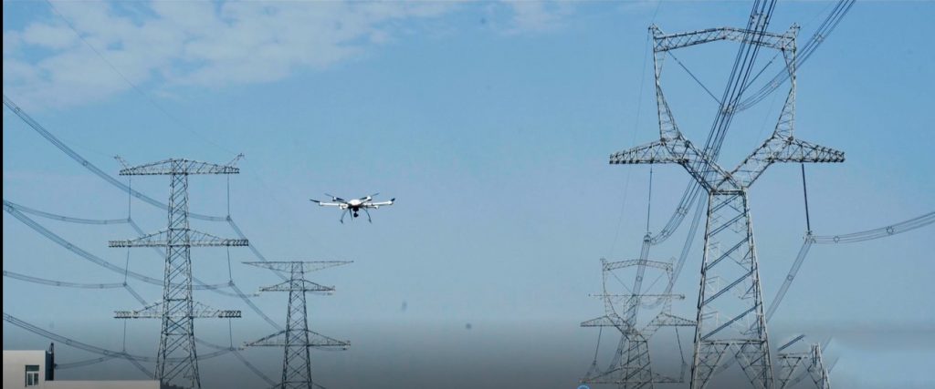
The use of multi-rotor UAVs to patrol overhead power lines has become a common method of powerline inspection. The drone can quickly and comprehensively detect and troubleshoot the defects of the power line and the hidden dangers of the channel, which provides an effective supplement for the traditional manual inspection and greatly improves the work
- Published in Technology
UAV Drone Powerline Inspection Solution and Process
Thursday, 04 July 2019 by owensong
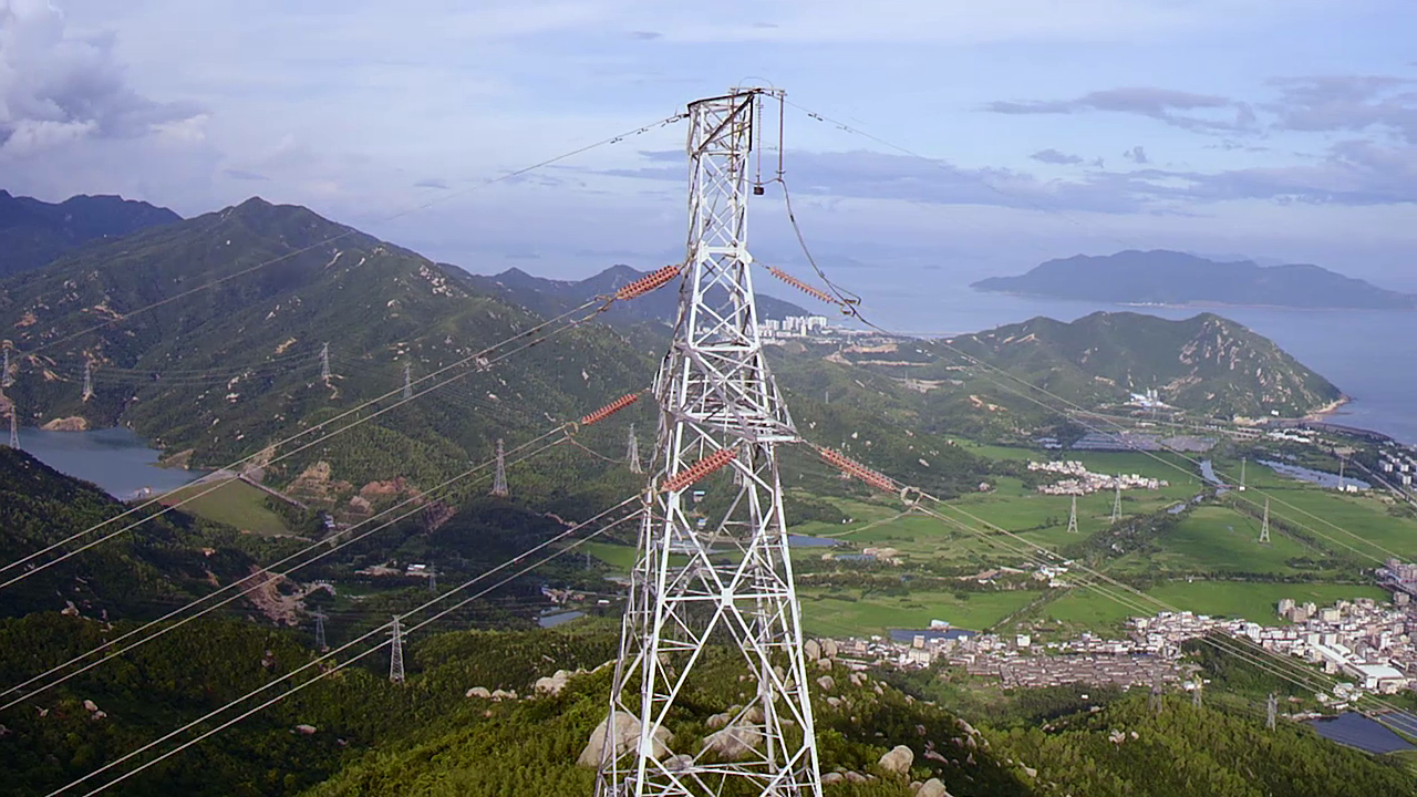
With the rapid development of China’s economy, the demand for energy is increasing, and the ultra-high-voltage and large-capacity powerlines are being greatly expanded. China’s power line corridors need to go through a variety of complex geographical environments, most of which have passed through large areas of reservoirs, lakes and mountains, which have brought many difficulties
- Published in Technology
Powerline inspection by Drone UAV Thermal imaging Camera
Tuesday, 02 July 2019 by owensong
With the arrival of the peak electricity consumption in summer, grid equipment is also facing an increasing testing. In the routine UAV powerline inspection, refinement inspection and troubleshooting ,drone with infrared thermal imaging camera has become an indispensable and important means. So, in the drone power inspection, what role does infrared thermal imaging camera play?
- Published in Technology
Drone (UAVs) with sensor for air atmosphere monitoring
Saturday, 29 June 2019 by owensong
UAVFORDRONE provides a one-stop UAV environmental air monitoring program, which is currently available in China and is used widely by the Environmental Protection Agency, got good feedback and high evaluation. As a drone solution provider. A variety of options can be selected, and the provided solutions have been implemented in many domestic municipal environmental protection
- Published in Technology
UAV multispectral sensor for forest insect pests prevention & monitoring
Friday, 28 June 2019 by owensong
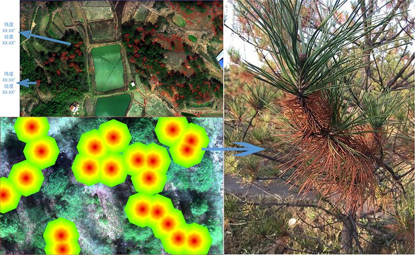
Natural environment damage leads to frequent vegetation disasters, crops and forest disasters are easy to break out, spreading speed is fast, and the scope of impact is wide. However, traditional vegetation monitoring is lagging behind the monitoring of lodgings, insect pests and other disasters, resulting in untimely assessment and treatment. The UAV multi-spectral remote sensing
- Published in Technology
XAG Xmission agriculture mapping and surveying UAV Drone views
Saturday, 22 June 2019 by owensong
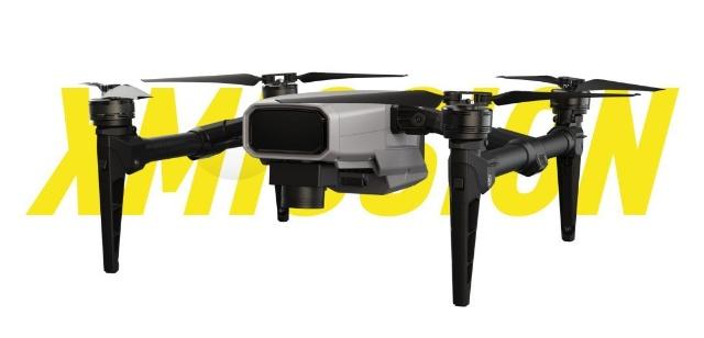
The XAG XMISSION multi-function drone is the latest industry level UAV. By carrying a mapping camera or a multi-spectral camera, it is possible to quickly and accurately perform agriculture surveying and remote sensing monitoring, collect farmland information, and assist in production decisions. At the same time, the open payload SDK system enables XAG Xmission agriculture
- Published in Drone New
Drone UAV working for Disaster Relief and Emergency search & rescue
Wednesday, 19 June 2019 by owensong
Natural or man made disasters create severe challenges for both emergency services and first responders. Areas with no roads and environmental challenges can appear insurmountable yet drone are capable of providing mapping, terrain data, act as radio relays and provide critical payload delivery. UAV are now play a more important role on disaster relief and
- Published in Company News
Different Drone Jammer UAV Blocker Anti-Drone Radio Frequencys Way
Thursday, 13 June 2019 by owensong
In recent years, UAV drone technology has become more and more mature. At the same time as the application is more and more extensive, the control accidents and related safety problems caused by UAVs are becoming more and more normal. The UAV have many beneficial application prospects. It may also be used more and more
- Published in Technology
UAV drone use in the forestry vegetation feilds
Tuesday, 11 June 2019 by owensong
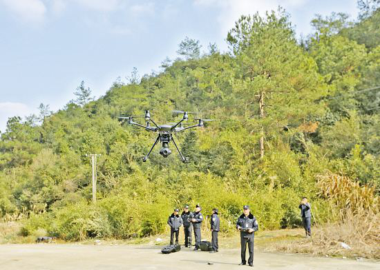
The forestry drone is a system platform for UAVs. It carries out real-time and dynamic monitoring of forestry resources by carrying different sensors, forms various data and information, and obtains various thematic data through comprehensive analysis and processing. And airborne remote sensing high-tech that provides big data support for decision making. drone is widely used
- Published in Technology


